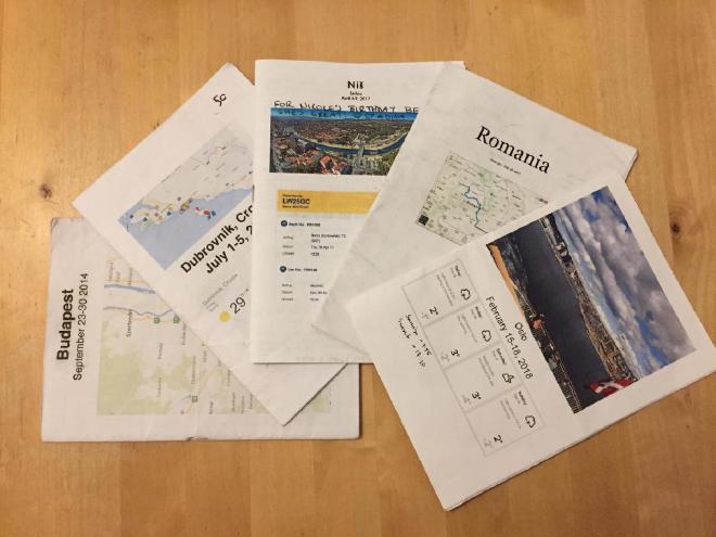
2018 Maptime Berlin - Designing Your Own Print Out Maps for Holiday

Disclosure: This talk took place before I got into OpenStreetMap, so the tutorial and subsequent maps were built using Google My Maps. Maybe one day I will redo these materials using OpenStreetMap instead!
This information was presented at Maptime Berlin on September 18, 2018.
View the presentation slidesFull Instructions – Make your own printable holiday maps
If you’d like to download a PDF of the map we made for this workshop to print out double-sided on your own, you can find that below.
Maptime Berlin Paper Map